


Spatial Accessibility Using Machine Learned Driving Times
Earlier this year, we invited fifteen fellows to develop their own web mapping applications, centered on equity and designed with communities in mind, using the SDOH & Place Toolkit. From July to September, we'll feature final fellow applications each week.
App Motivations
Alex created the application to demonstrate how errors in travel time assumptions can produce significant errors in our measures of spatial accessibility. Spatial accessibility is used in a variety of fields and for real-world public policy, so his hope is that this application will do a better job of reaching the diverse users of spatial accessibility methods than a journal article would.
The target audience for this project is geared toward practitioners and researchers using spaital accessibility methods, but that anyone from the Cincinnati community may also access the data application.
Features
Alex's data application includes the following features:
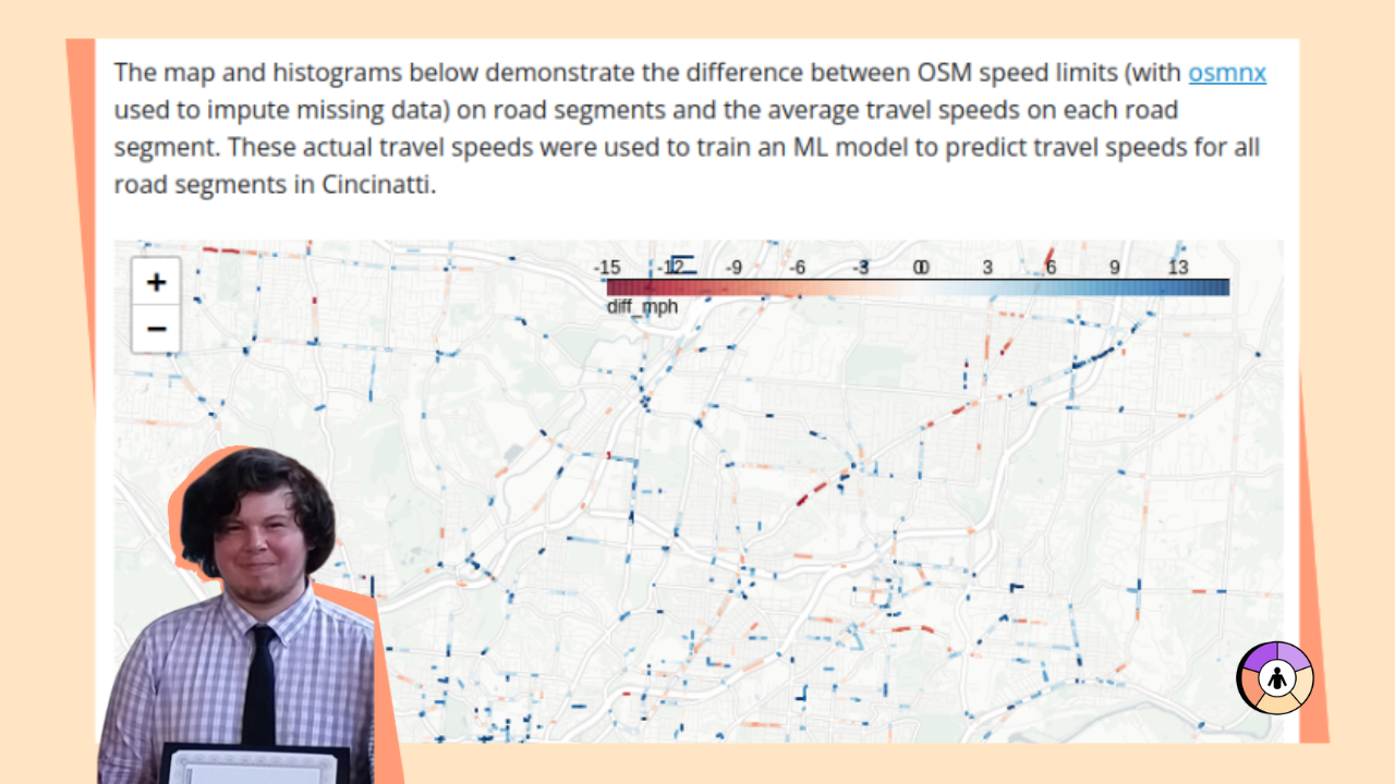
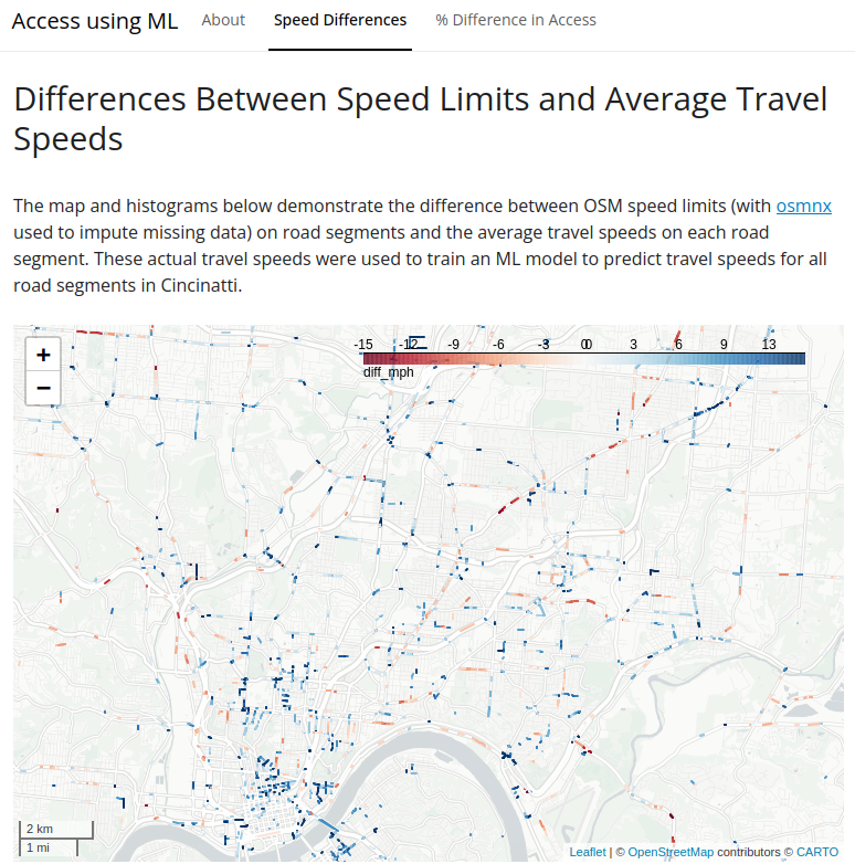
- The difference between the speed limit and actual travel speed across Cincinnati, OH.
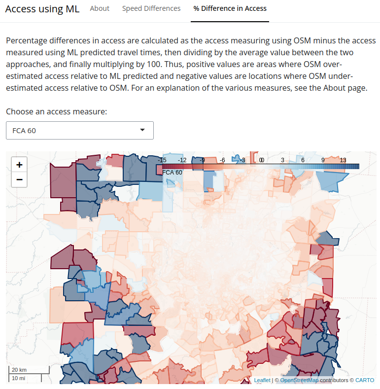
- Drop down showing multiple spatial accessibility methods and viewers can see the percentage difference between speed limit spatial accessibility and machine learned spatial accessibility. Here we can looks at the pattern of how access changes when using machine learned travel times.
The data used by the machine learning tool is based off of data from 2019 which is assumed to not have changed much, however even still the numbers could be off a little.
Upcoming Features
This project is still a work in progress, with Alex considering adding a feature showing how travel speed changes over time (i.e., 8 AM on a weekday versus 8 AM on a Saturday). Additionally, the research behind this Asset Map is still in progress.
If you would like to check out Alex's work you can access the application here.
About the Author
Alex Michels is a PhD student studying Spatial Informatics under Dr. Shaowen Wang at the University of Illinois Urbana-Champaign (UIUC). He is currently a research assistant at the CyberGIS Center for Advanced Digital and Spatial Studies and will be on the job market in Fall 2024.
Alex is passionate about access & cyberGIS meaning: (1) using cyberGIS to explore, model, and analyze spatial patterns and systems of inaccessibility and inequity and (2) making cyberGIS tools and technology accessible to all. His work in analysis and modeling includes Spatial Agent-Based Models (SABMs) for public health and the WhereCOVID-19 Spatial Accessibility Explorer for rapidly measuring spatial accessibility during the COVID-19 pandemic. His work on FAIR (Findable, Accessible, Interoperable, and Reproducible) computing in the geosciences includes contributions to CyberGISX, CyberGIS-Jupyter for Water (CJW), and CyberGIS-Compute.


